

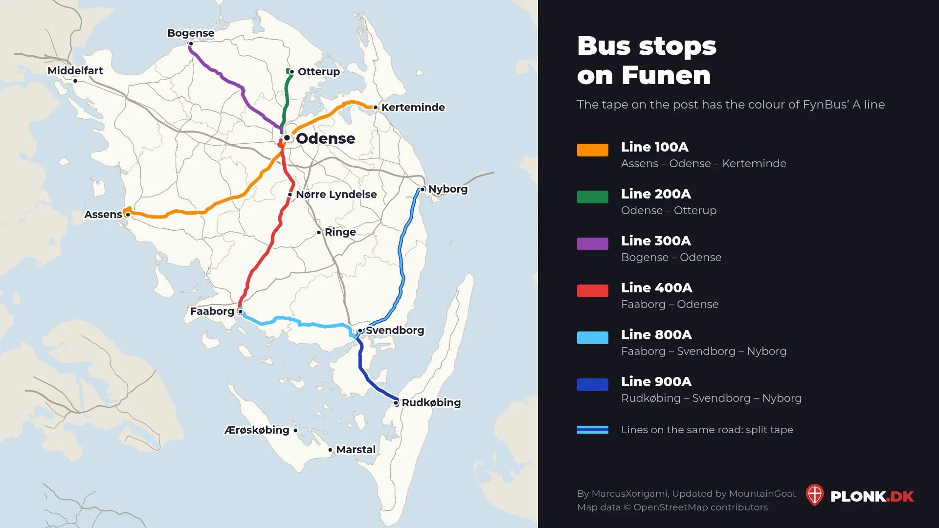
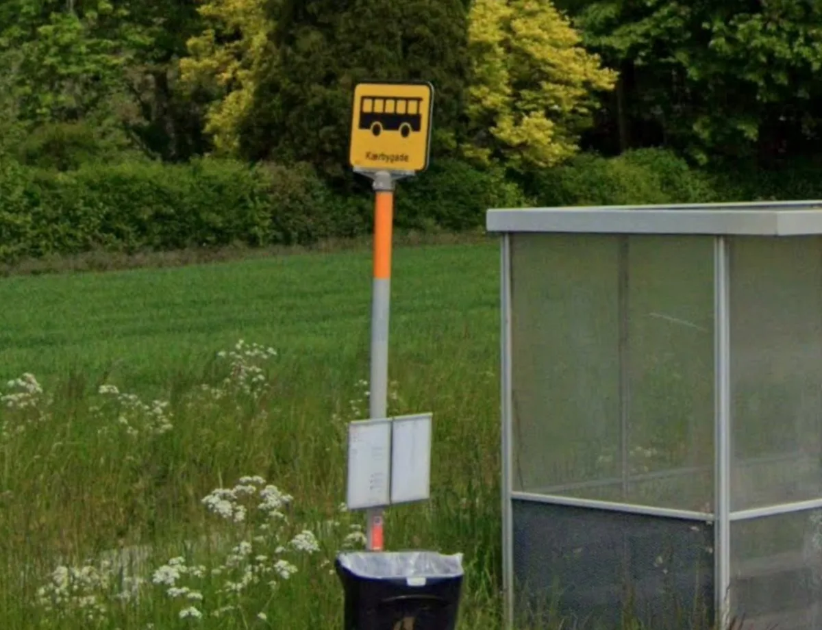
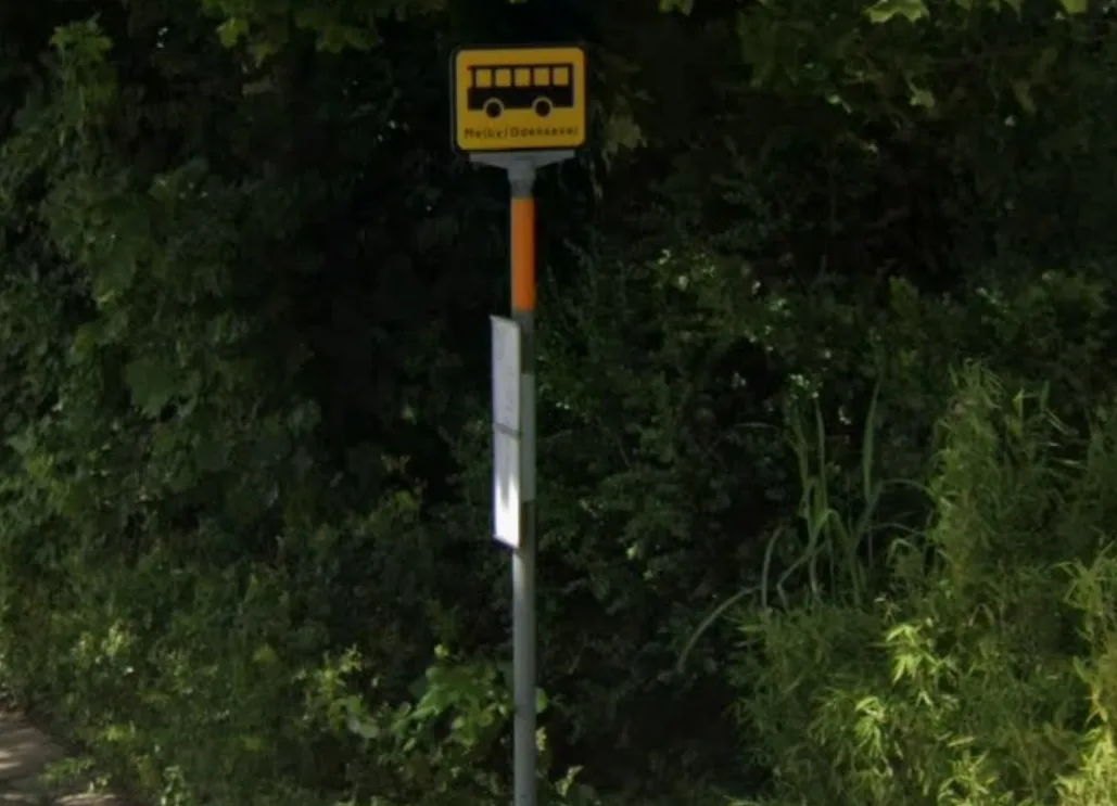
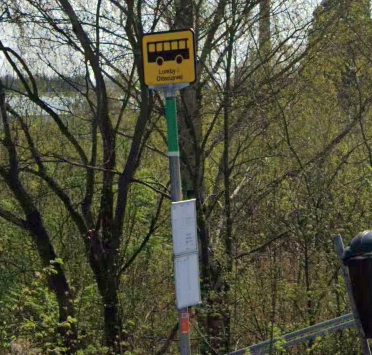
Many bus stops on Funen have a piece of coloured tape on the post just below the sign. The colour shows which of FynBus’ A lines stops there. The A network arrived in August 2024 with six frequent regional lines, and each line has its own colour, at the stops too (Kollektiv Trafik Forum, in Danish). Since each line runs its own route, the colour can tell you where on Funen you are.
The colours
| Tape | Line | Route | Mostly along |
|---|---|---|---|
| Orange | 100A | Assens – Odense – Kerteminde | Routes 168 and 165 |
| Dark green | 200A | Odense – Otterup | Route 162 |
| Purple | 300A | Bogense – Odense | Route 311 |
| Red | 400A | Faaborg – Odense | Route 43, then through Nørre Lyndelse and Hjallese |
| Light blue | 800A | Faaborg – Svendborg – Nyborg | Routes 44 and 163 |
| Dark blue | 900A | Rudkøbing – Svendborg – Nyborg | Routes 9 and 163 |
- The buses also go into the towns and along side roads on the way, so the tape is not only found along the main road.
- The other regional buses (the light green lines on FynBus’ map) have no tape.
Where the lines meet
Where two A lines stop at the same bus stop, the tape is split into both colours:
- Light blue and dark blue: all the way between Svendborg and Nyborg, where both 800A and 900A run.
- Orange and red: Odense, around Odense Zoo (100A and 400A).
- Dark green and purple: Odense N (200A and 300A).
- Red and light blue: Faaborg (400A and 800A).
Examples
Tap a place to see the picture and open the place in Google Street View. The pictures are from Google Street View.
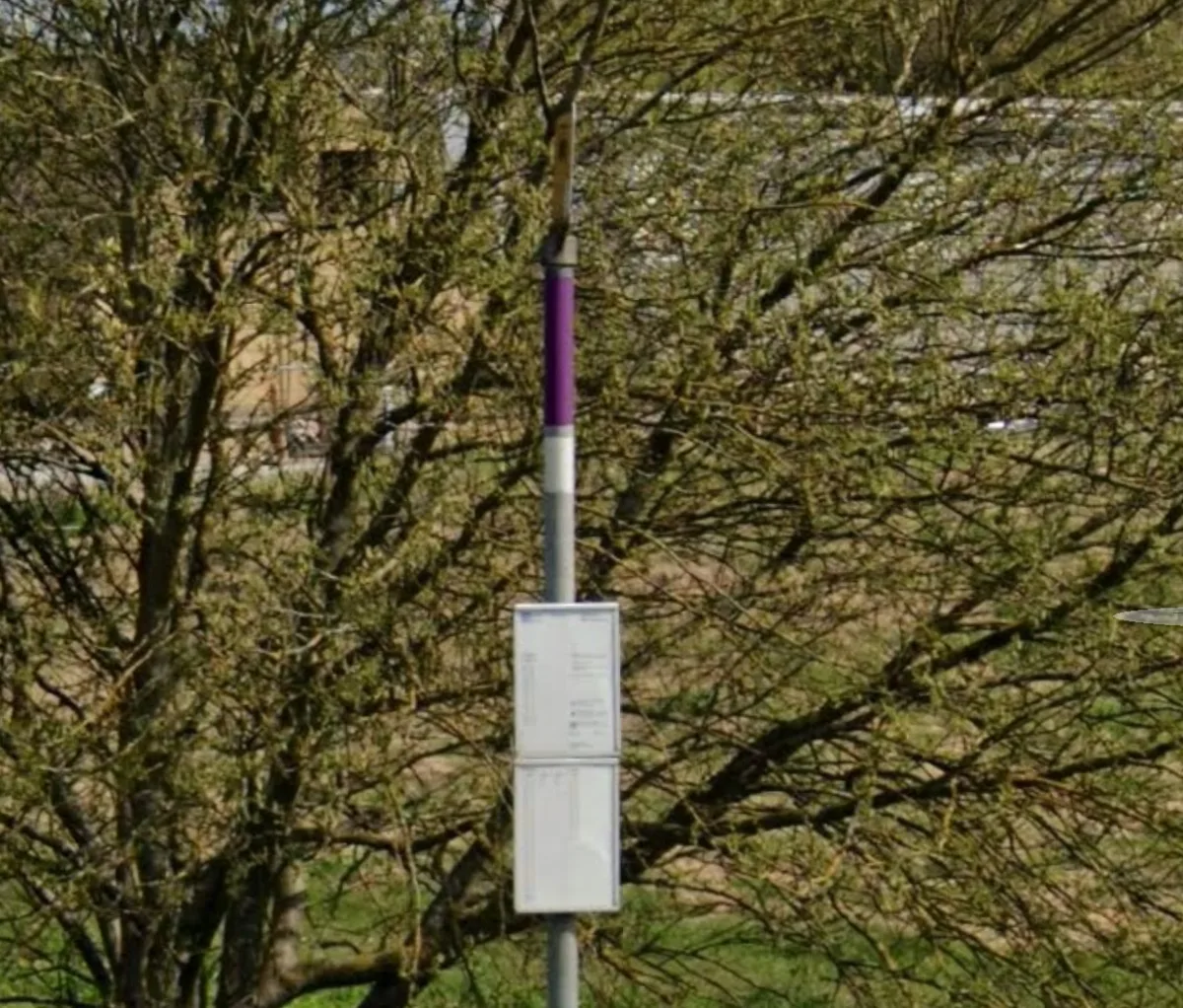
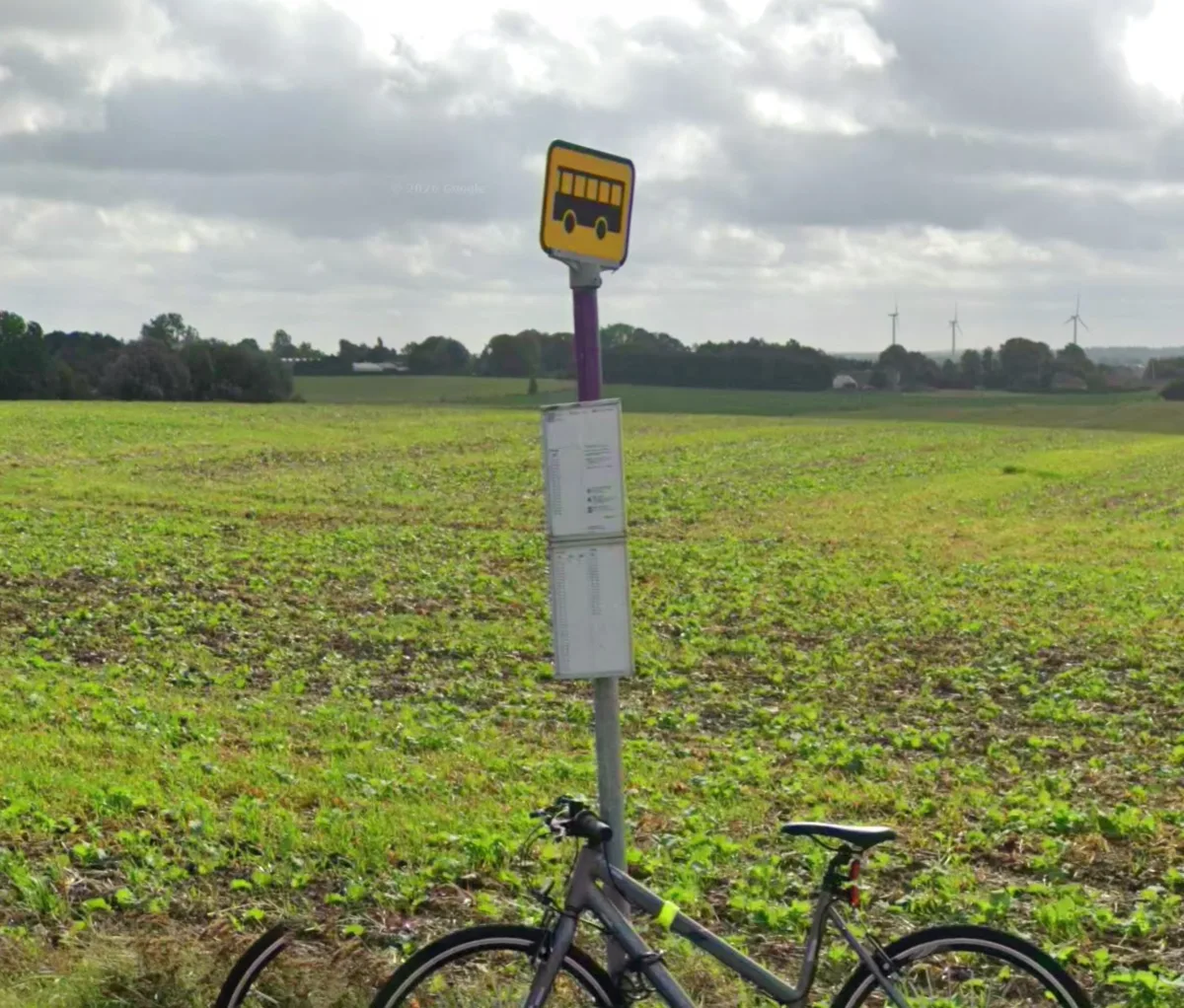
Purple: 300A at Hemmerslev
Route 311 in the countryside between Søndersø and Bogense.
See it in Google Street View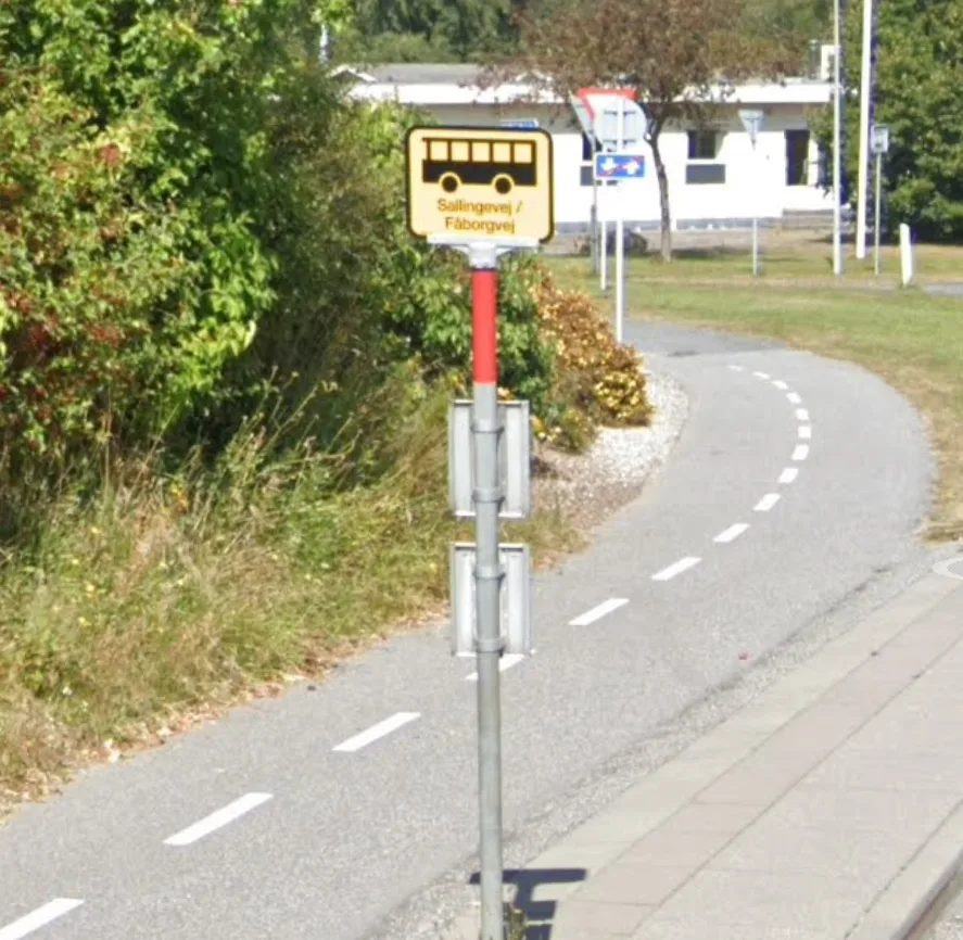
Red: 400A at Sallingevej / Fåborgvej
Route 43 between Odense and Faaborg.
See it in Google Street View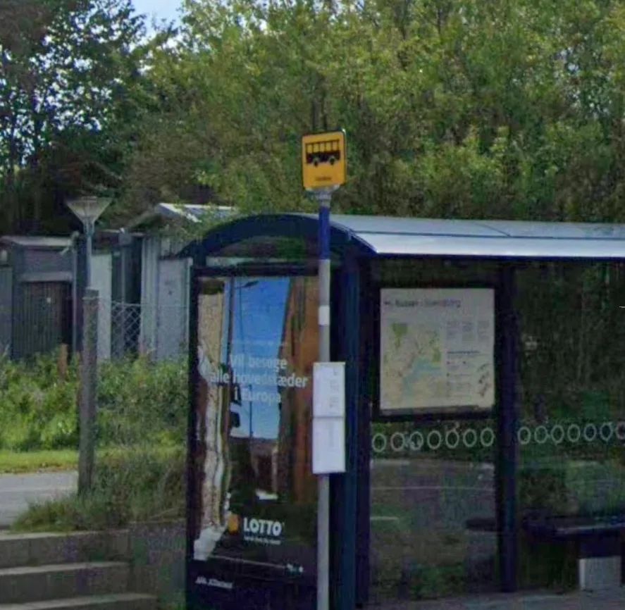
Dark blue: 900A at Vindeby
Route 9 on Tåsinge, between Svendborg and Rudkøbing.
See it in Google Street View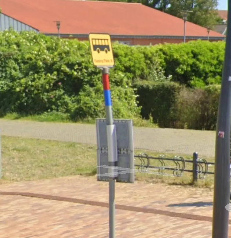
Red and light blue: 400A and 800A at Faaborg Plads
Faaborg's bus terminal, where both lines stop.
See it in Google Street View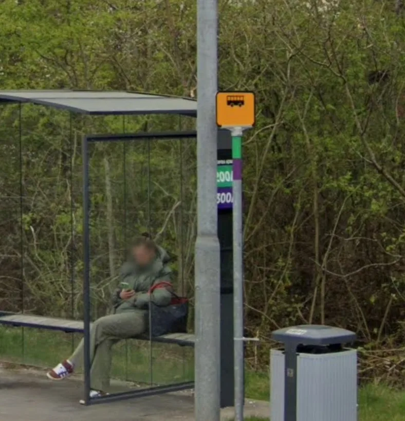
Dark green and purple: 200A and 300A at Gammelsø
Næsbyvej in Odense N, where both lines stop.
See it in Google Street View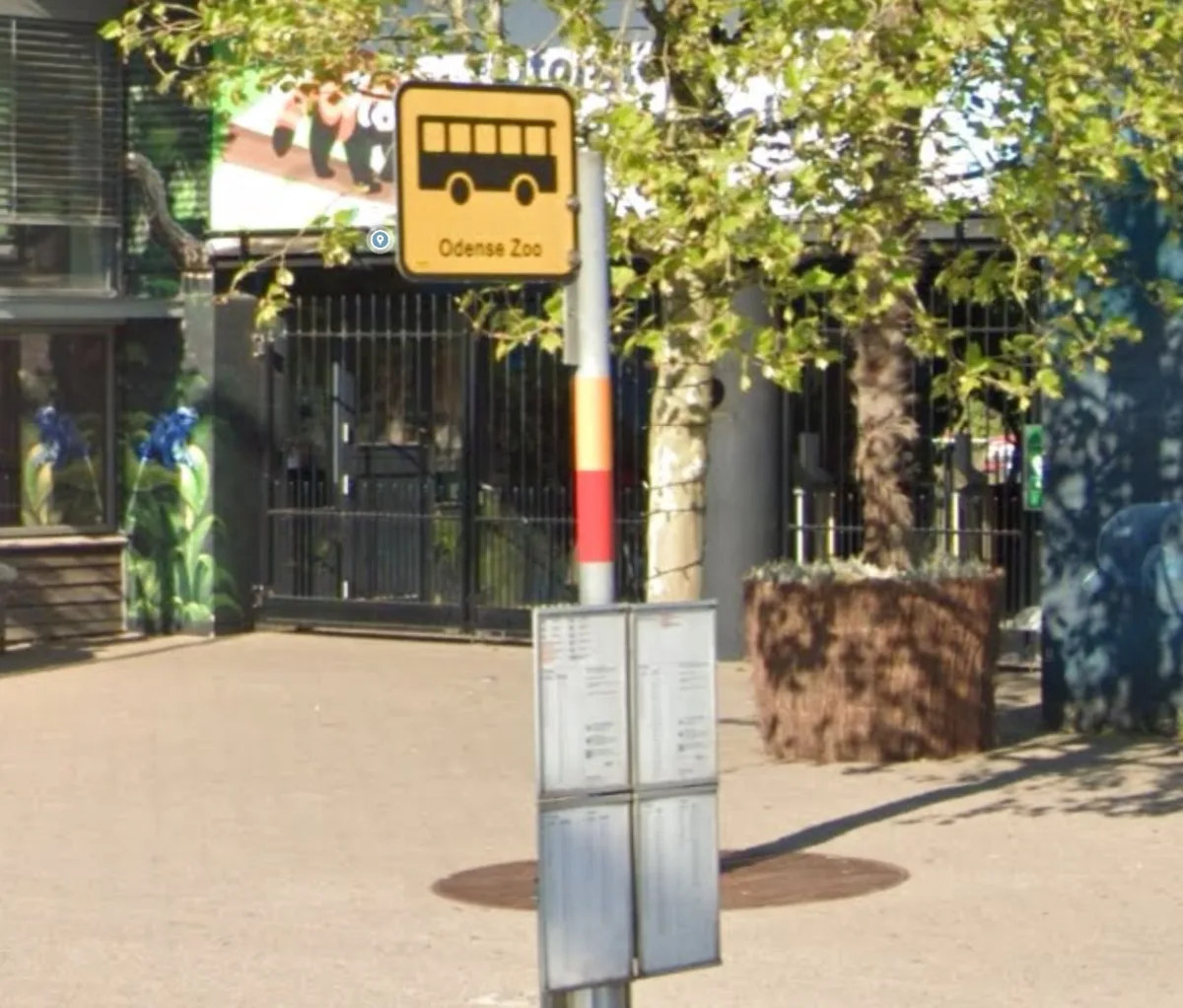
Orange and red: 100A and 400A at Odense Zoo
Both lines stop here, so the tape is split.
See it in Google Street View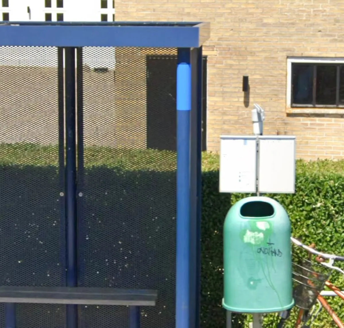
Light blue: 800A at Nabgyden
Here the tape is on the shelter's post instead of the sign's.
See it in Google Street View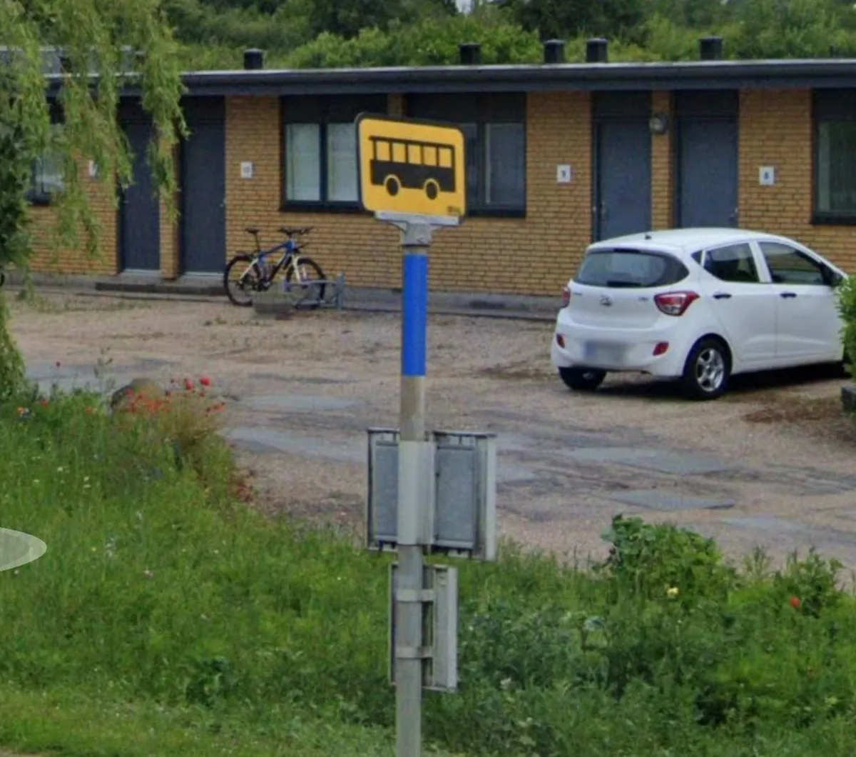
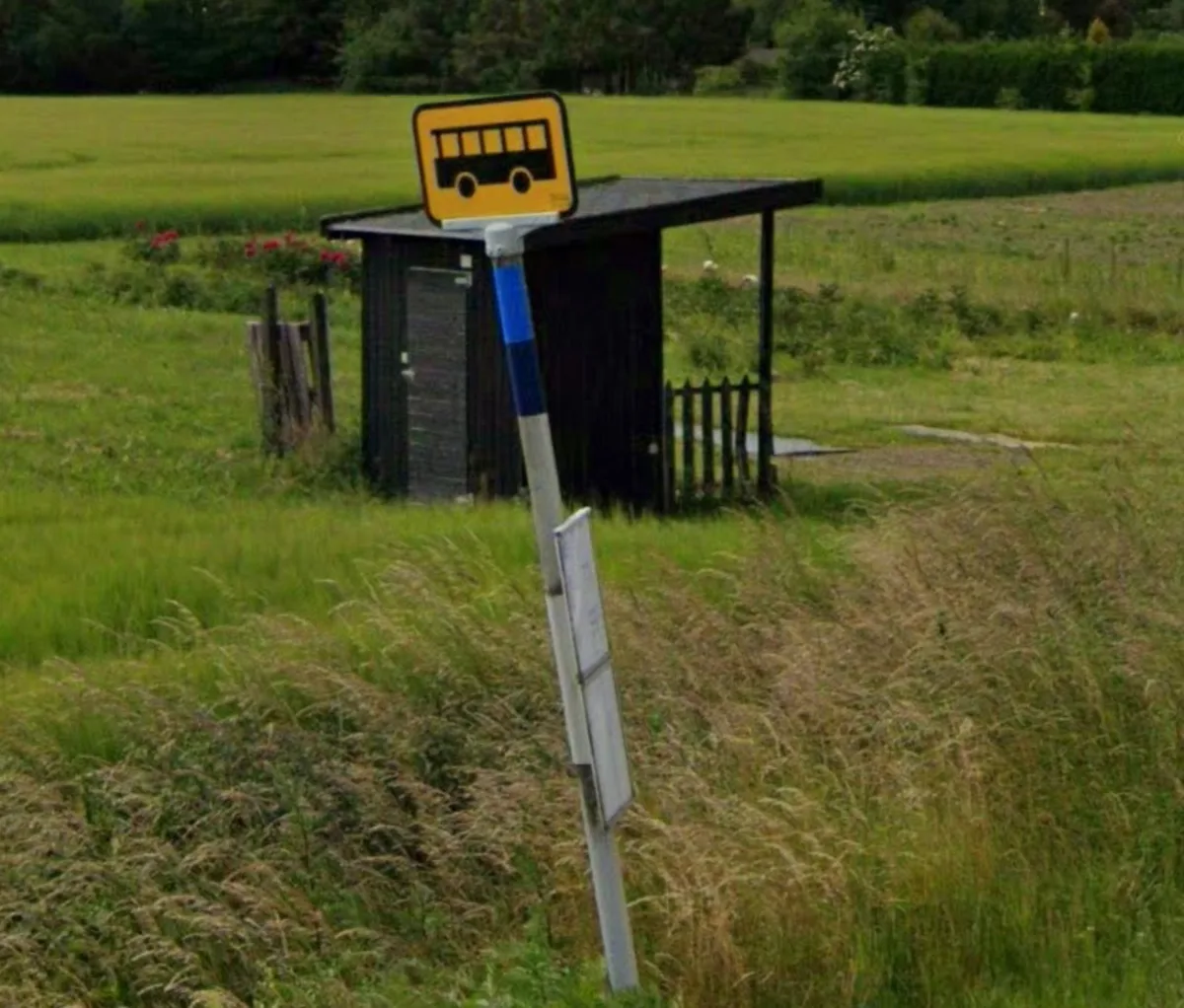
Light blue and dark blue: 800A and 900A at Skovmøllevej
Route 163 north of Svendborg.
See it in Google Street View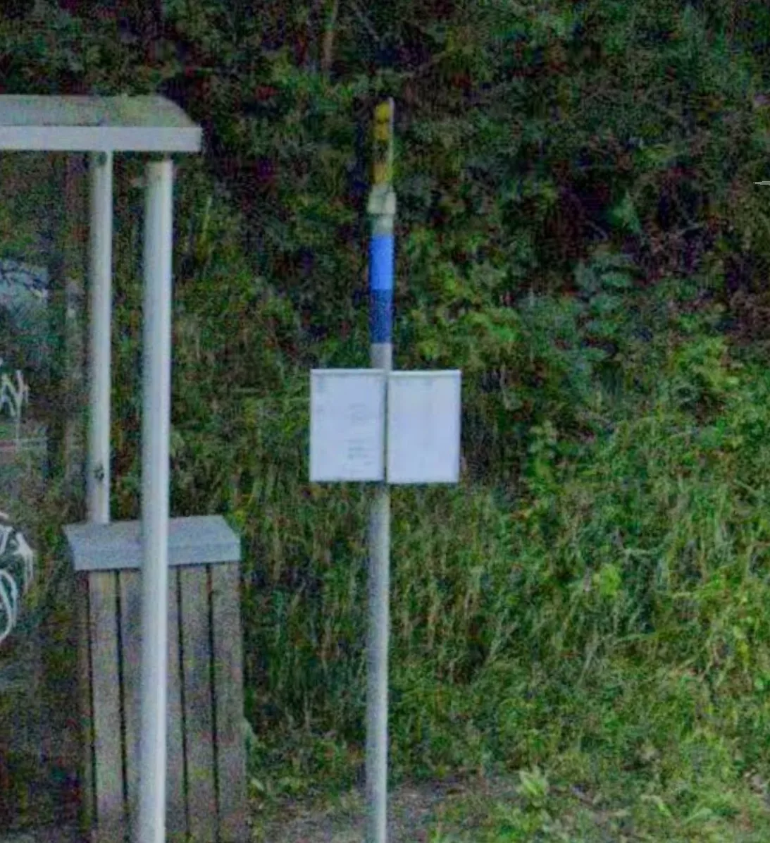
Light blue and dark blue: 800A and 900A at 4kløverskolen
Route 163 south of Nyborg.
See it in Google Street View